
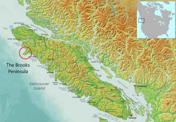
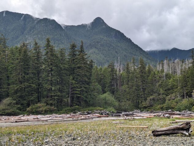
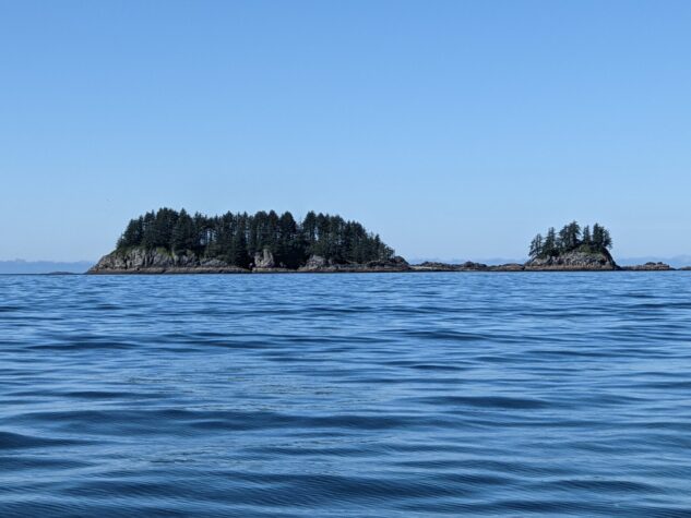
I have been fascinated by the Brooks Peninsula for some time. Geographically it is significant as it sticks out quite prominently on the west side of the island near the northern tip. It is rumoured to have its own weather system and significant hazards for boaters and kayakers rounding its western point. There are some very hard to reach mountains on the peninsula as well, one called Mount Doom that has a great mystique by name and remoteness. Up in those mountains contain some interesting flora and fauna as this part of the island may have not been covered by snow and ice during the ice age, resulting in some prehistoric plants still living to this day.
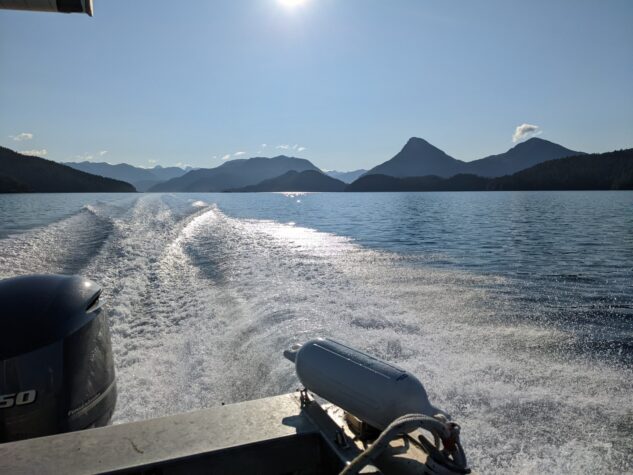
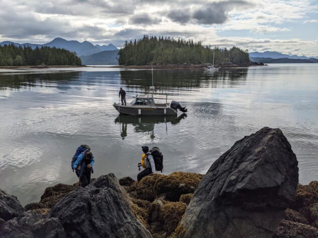
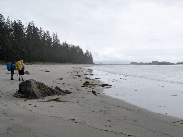
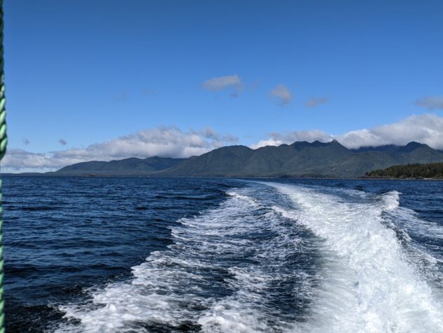
When friends suggested we might hike the coast of the Southern Brooks Peninsula I was excited for the opportunity. This remote coastline requires a water taxi to access (we used Voyager Water Taxi), some planning around tides to ensure passage, and a willingness to be remote and exposed on the west coast. I was in, and we planned to hike from Jackobson Point to Clerke Point and back in July 2022.
Contents
Day One: Jackobson Point to Unnamed Creek
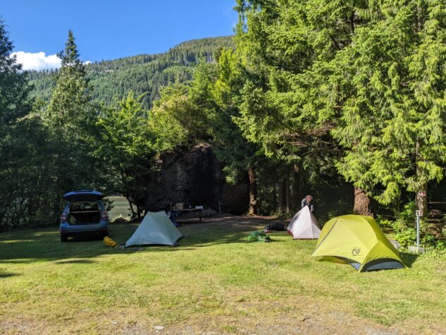
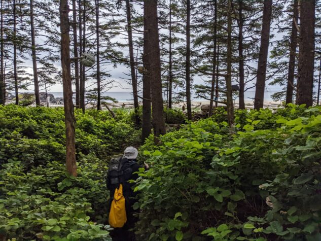
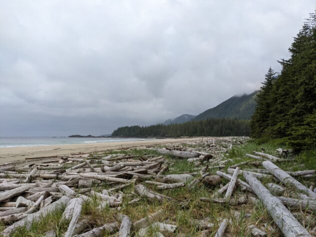
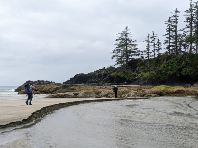
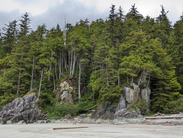
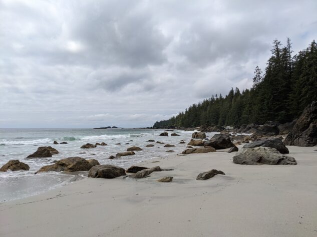
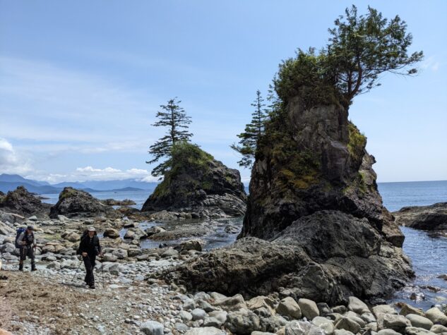
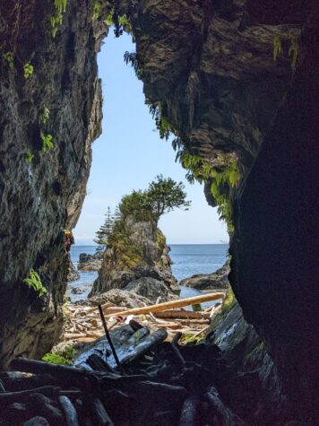
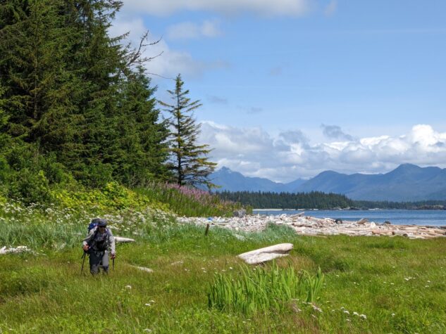
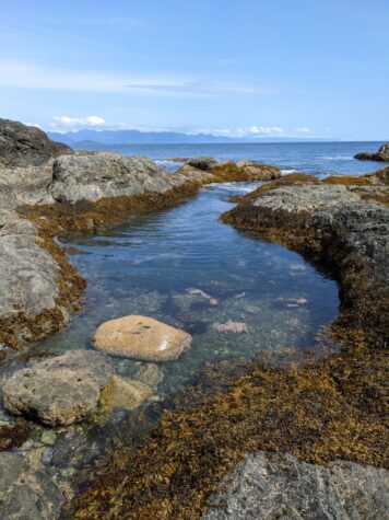
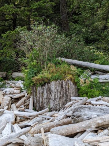
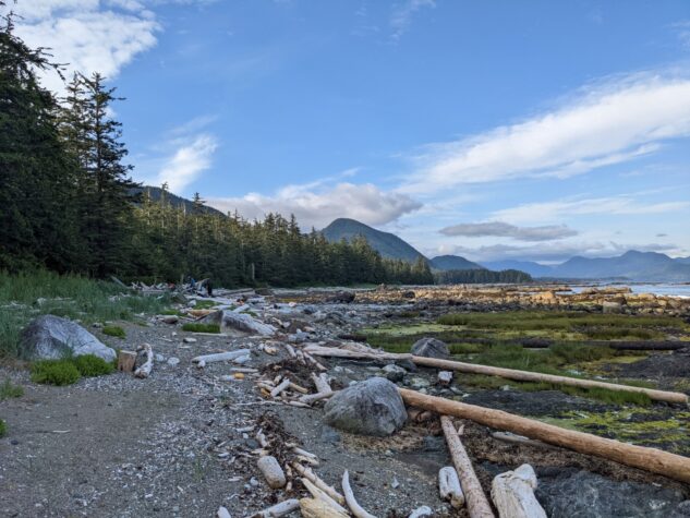
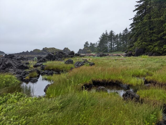
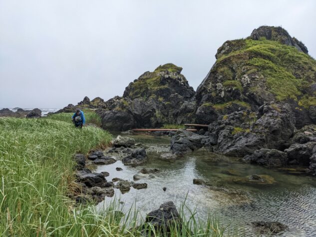
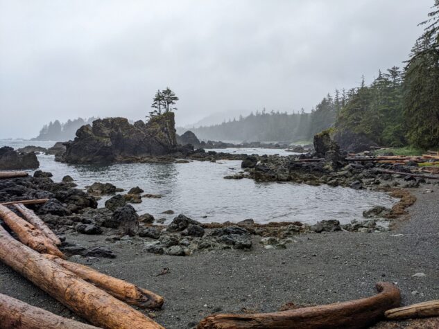
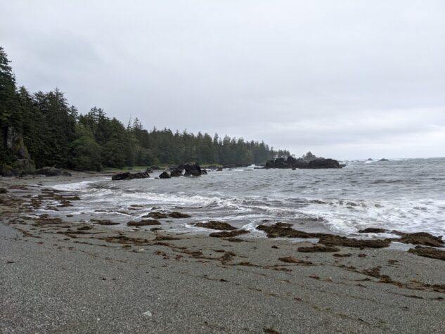
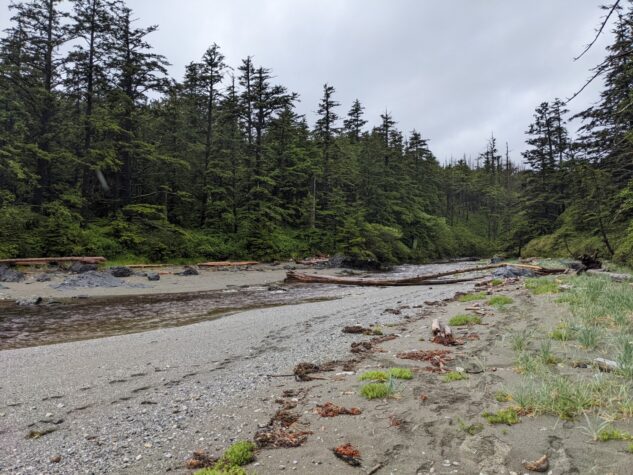
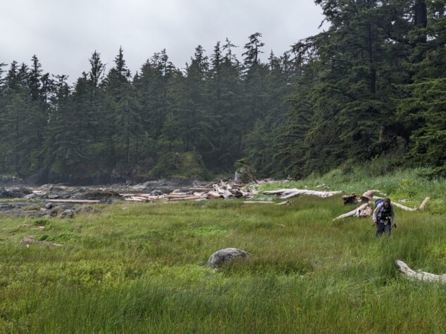
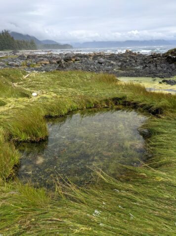
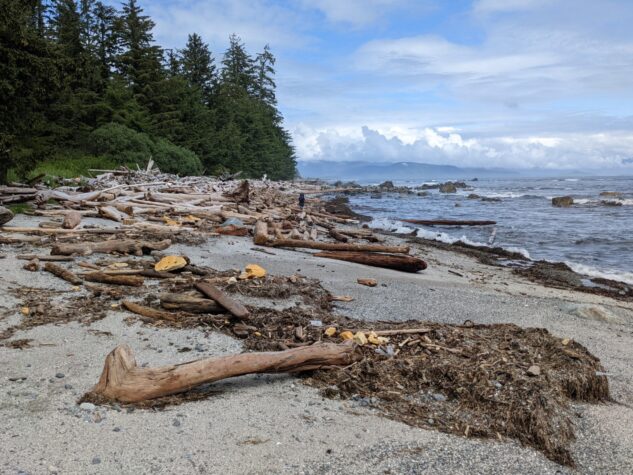
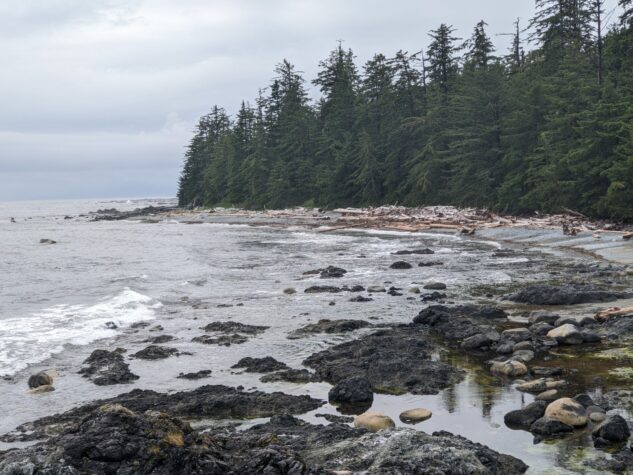
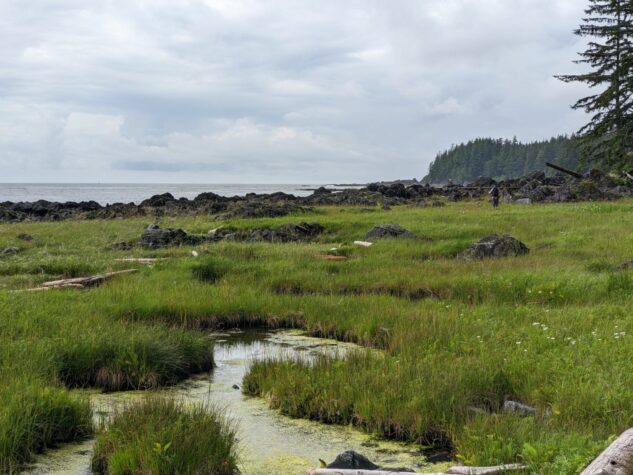
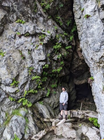
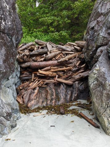
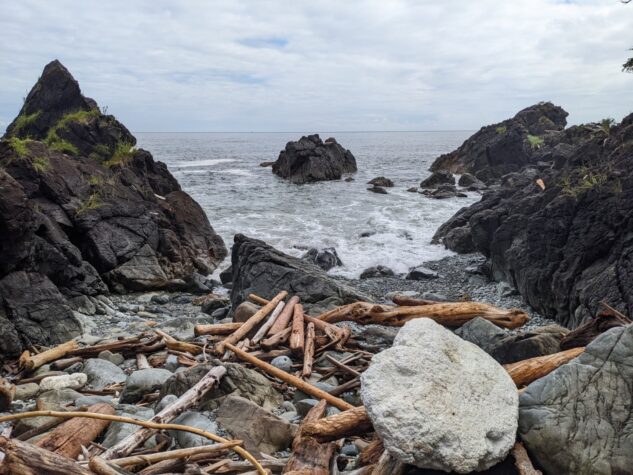
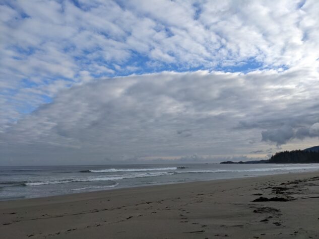
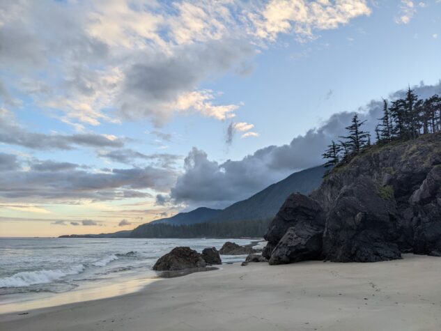
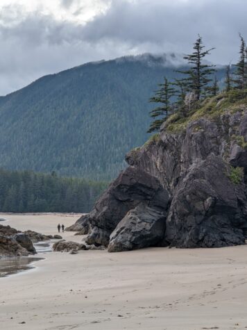
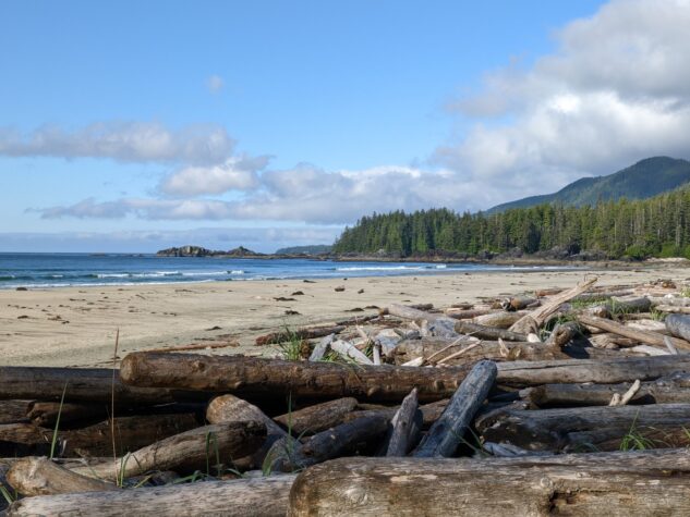
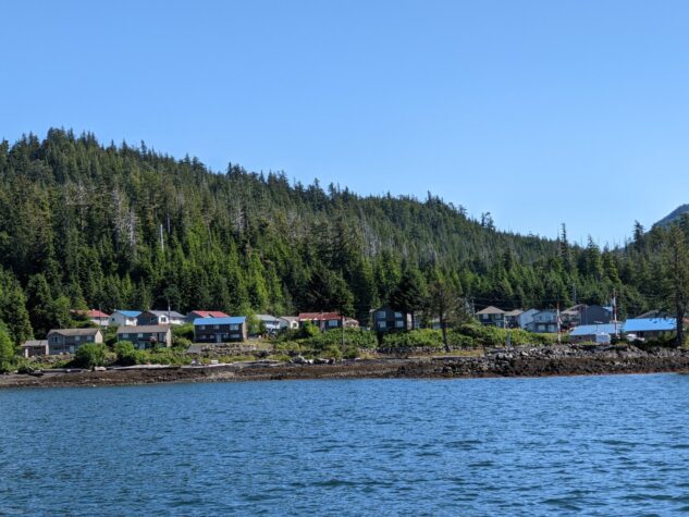
We travelled to Fair Harbour and camped one night in this small little community that consists of a harbour, boat launch, and marina. In the morning we met our water taxi for travel to Jacobsen Point. The water taxi was a smooth trip as we left early before the weather had blown up, as it usually does in the afternoon. We began our hike in the lagoon and crossed a headland to the beautiful beaches of Checleset Bay on the southern side of the point. With pleasant weather and low tides, we travelled without incident along the southern shores of the peninsula. We experienced a diverse range of terrain, from expansive beaches, headlands, log littered shores, sea caves, and intertidal marshlands. We made camp by a small river outlet, unnamed on the map, past Cladothamnus but before Amos creek and enjoyed a nice sunset before the fog bank set in.
Distance 10.75 km | Time 8:24:44 | Total Ascent 62.9 m | Total Descent 100.3 m
Day Two: To Clerke Point
Day two started with favourable weather but deteriorated as the day went on. We hopped over Amos Creek as we made our way, this will become important later.
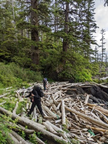
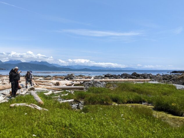
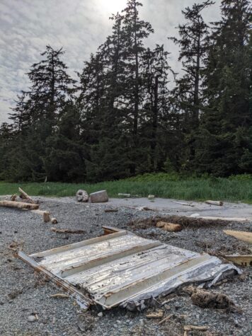
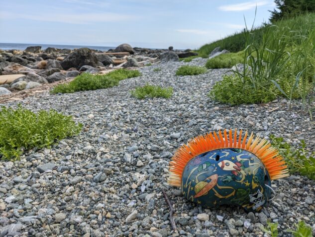
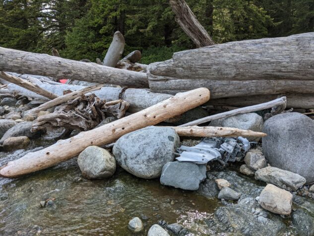
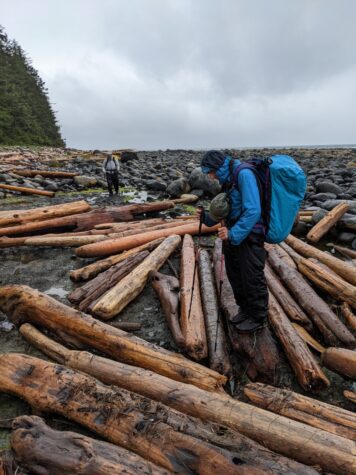
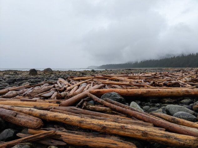
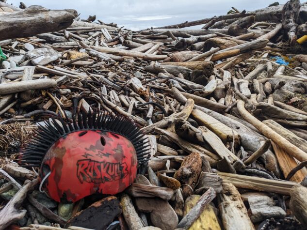
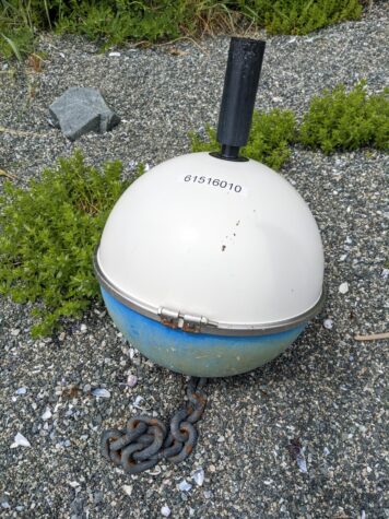
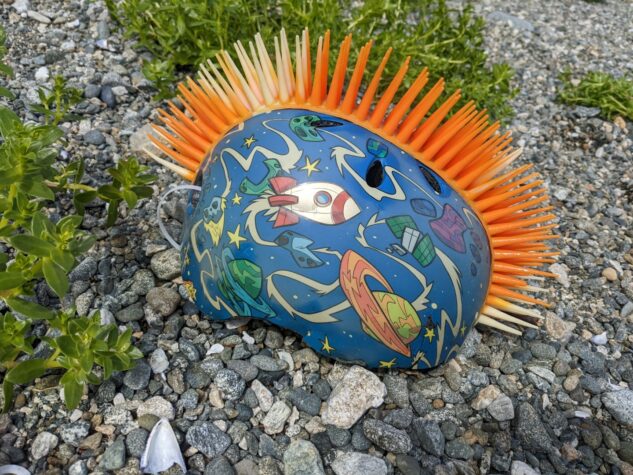
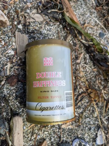
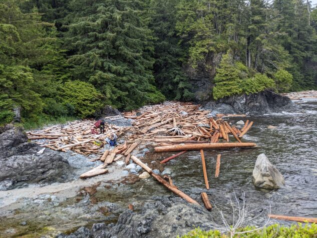
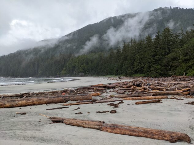
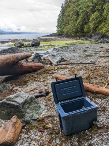
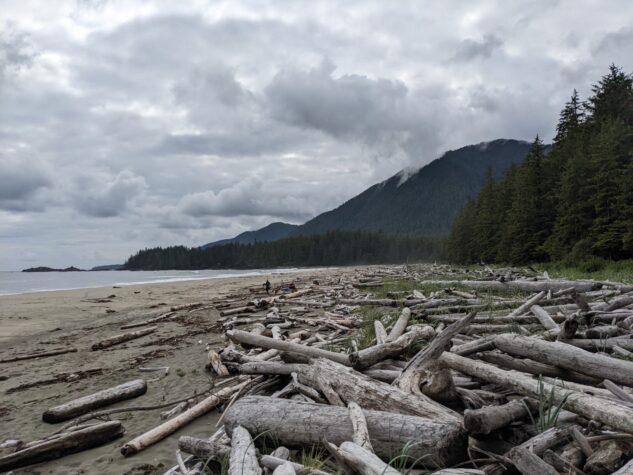
As we went, we came upon an increasingly amount of beach junk. I recall bicycle helmets, Croc sandals, cigarettes, vacuum cleaners, and Yeti coolers in abundance along this shoreline, as well as larger items such as fridges. The remnants of entire shipping containers could also be found washed up here and I suspect some of this debris might be from the ship that lost 109 containers during a storm in late 2021.
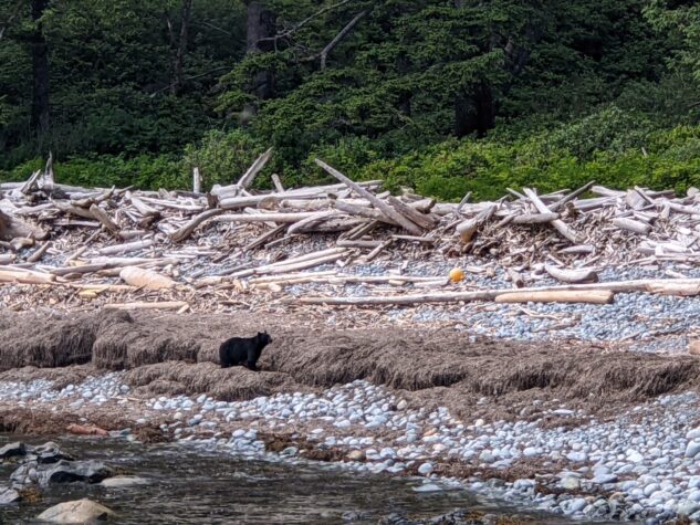
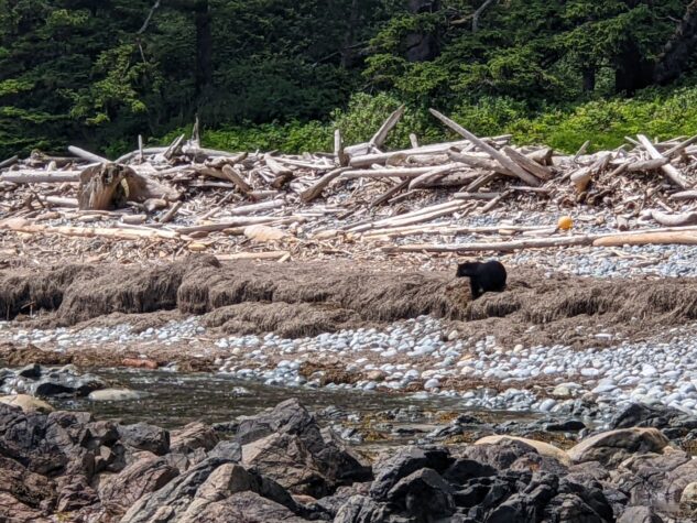
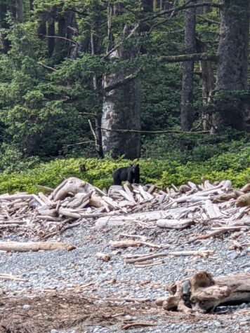
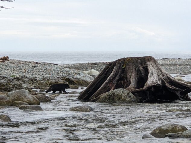
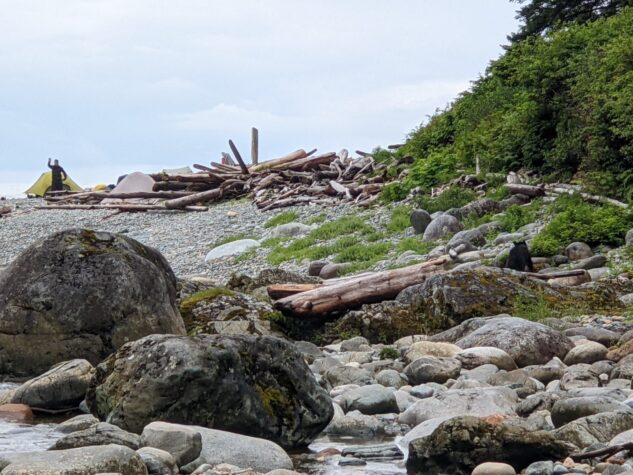
We encountered a bear along this route that was unwilling to give up her position foraging in the low tide sea grass. A bear banger was eventually set off, but while she was scared off, she still turned around to face us and let us know she was unhappy with the outcome of the encounter. We also saw a wolf traverse the beach during our lunch break. Like a shadow, she moved across the beach in front of our position. Later, we were barked at, yes, literally ‘barked’ at as we made our way around a headland. I presume the wolf den may have been nearby and we were being warned to stay out of the bush, no problem.
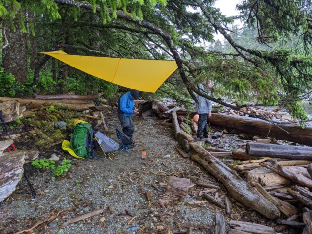
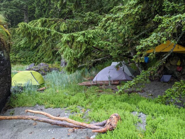
We made tracks to Clerke Point as a storm whipped up and while we had hoped to camp on the beach here, we had to take shelter behind a large rock as the wind and rain were whipping in quite harshly. Despite the conditions we were well sheltered in our little camp and managed to get a fire going that kept us warm and comforted as the storm continued.
Distance 8.29 km | Time 6:38:14 | Total Ascent 87.5 m | Total Descent 68.9 m
Day Three: Clerke Point to Cladothamnus Creek
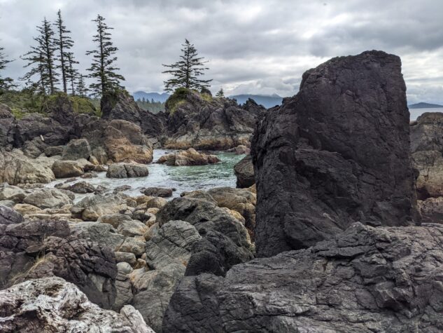
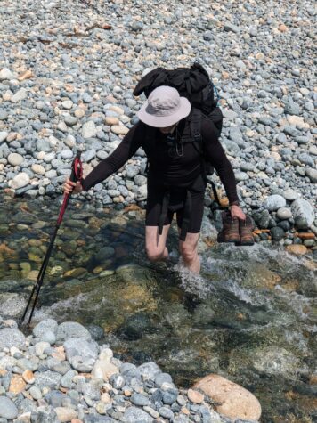
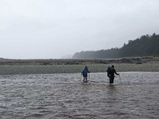
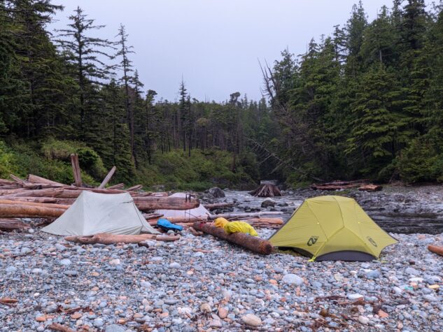
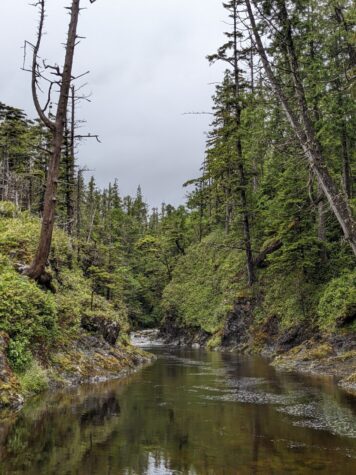
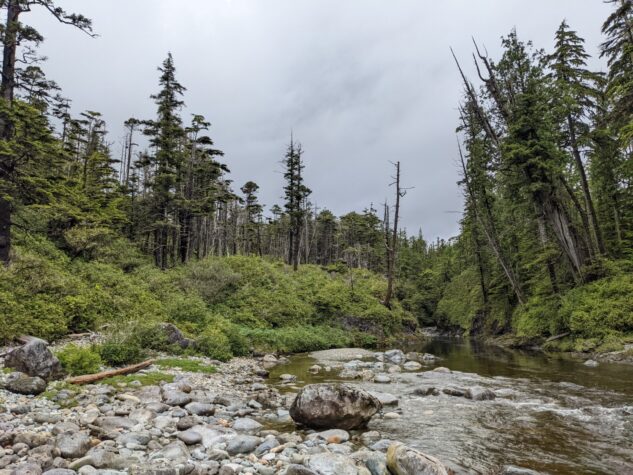
With the storm still blowing in the morning we realized we would not make it further than Clerke Point and decided to make our way back along the coast. It had been raining now for about 18 hours and as we approached Amos Creek, we found the once small creek to be a raging river. All of the rain that had come down was now flowing out into the ocean via Amos creek and faced a significantly different situation approaching the crossing. Boots off and water shoes on, we picked our way across the creek. My Teva’s were literally folding over as the fast-moving current bent them backwards while I sought out a footing in the rock bottomed torrent. This was the most intense river crossing I have faced and while I just barely made it across, John and Shawn looked for another approach further upriver. I waited as they picked their way across, and we continued onto Cladothamnus Creek where we camped for the night. Surprisingly, Cladothamnus river was not raging as Amos was and we made camp on the remarkable orange rocks that characterize this area.
Distance 11.88 km | Time 11:14:53 | Total Ascent 87.5 m | Total Descent 68.9 m
Day Four: Cladothamnus Creek to Checleset Bay
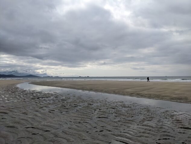
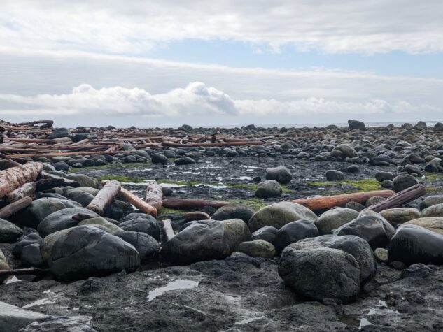
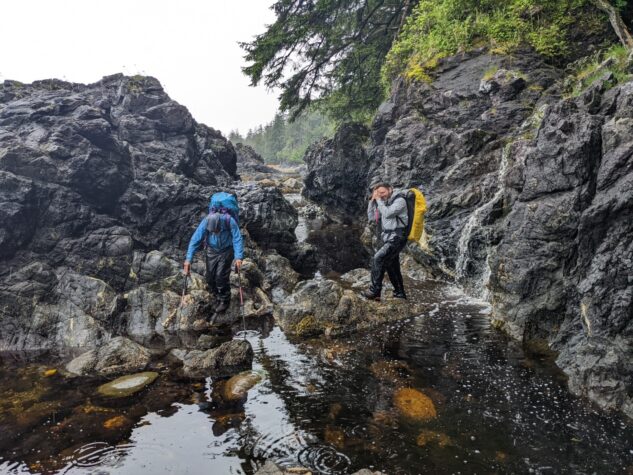
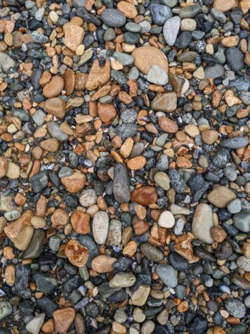
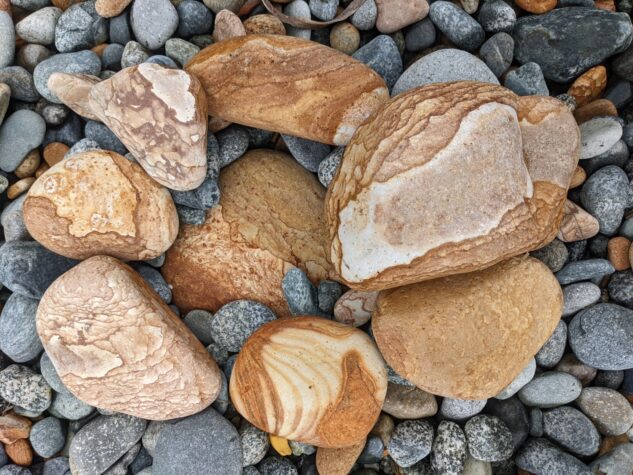
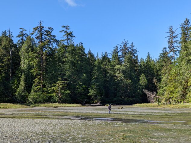
Waking at Cladothamnus we explored the beach and river outlet. These orange rocks must come down from the Brooks Peninsula mountains and are super unique making the peninsula even more interesting. We made our way back to Checleset Bay exploring the beach along the way. The rain had mostly stopped but was still threatening and came down once or twice along the route. We had to wait out a tidal crossing, taking about an hour or rest before we could continue. At one point the rain started to come down again and we had to downclimb a waterfall, a precious memory on this remote west coast.

Distance 6.75 km | Time 4:50:04 | Total Ascent 64.0 m | Total Descent 48.3 m
Day Five: Checleset Bay to Jackobson Point to Fair Harbour
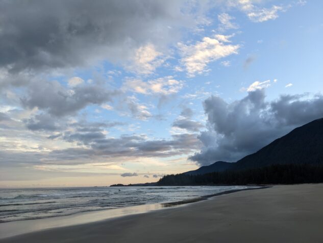
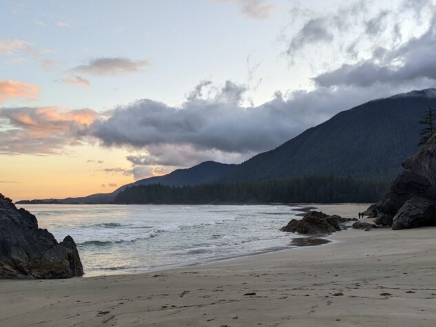
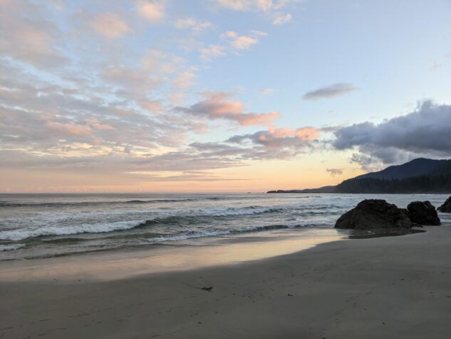
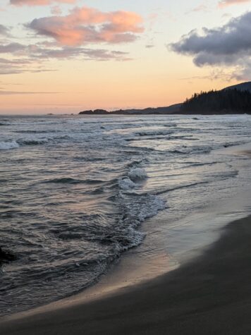
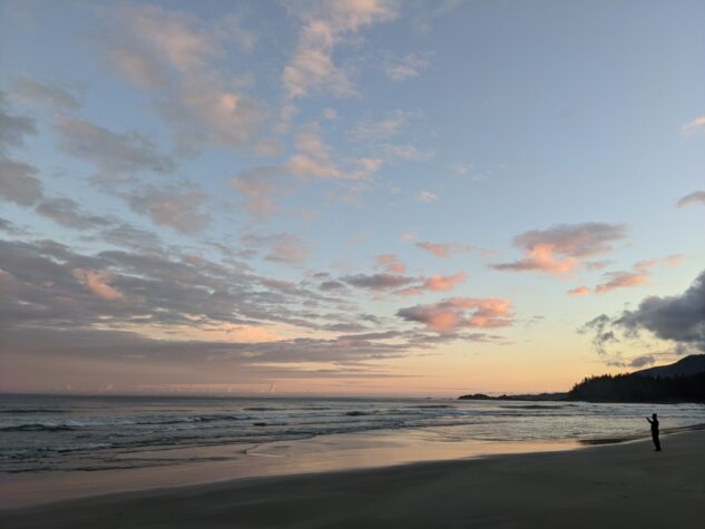
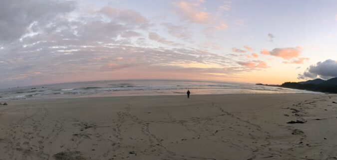
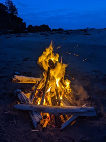
At Checleset Bay we had left some food hanging in a tree and regretted not taking that opportunity to leave some beer or other goodies for our last night on the peninsula. We had outstanding weather though and many good memories from the trip to marinate on. We were treated to an outstanding sunset, could be the best of the year for me. We explored the beaches only accessible at low tide here and enjoyed a great dinner on a massive expansive beach as the sunset opened up. A small fire warmed us into the night and the sky was full of stars.

Distance 1.74 km | Time 52:39 | Total Ascent 15.4 m | Total Descent 25.4 m
 1
1
Pingback: Hiking the South Brooks Peninsula - Island Mountain Ramblers
Hello I was wondering what water taxi you took to Brooks Peninsula? Thanks
We used Voyager – https://www.voyagerwatertaxi.com/