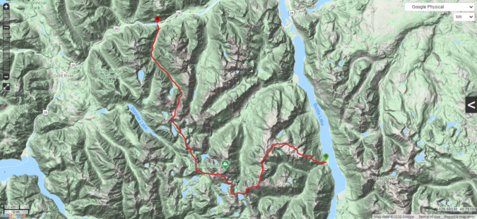
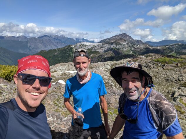
At the end of July I went on an epic hiking trip that traversed past the highest mountain on Vancouver Island the Golden Hinde, starting from the Elk River and ending at Marble Meadows. The trip, 92 kilometres in total and ascending a total of 5416 metres in elevation, was designed by my friend John Young. When he first invited me, I wasn’t sure if it was something I could do. While I have spent a lot of time hiking on the coast, I have spent very little time hiking in the mountains on Vancouver Island. Previous to this I had been up Flower Ridge to spend a night and I’d been on many day hikes up in Strathcona Provincial Park. In any case I decided to join. With that I was about to embark on the longest backpacking trip I’ve ever been on, my second mountain trip, and an unforeseeable amount of unknown terrain ahead.
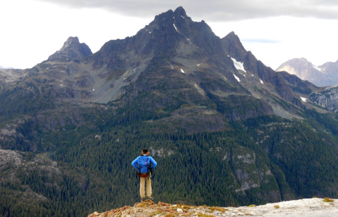
I was apprehensive.
“Strathcona 090 – 2015-07-21 – Isobel and Golden Hinde” by tevpg is licensed under CC BY-NC 2.0
I contacted friends to see if it would be too difficult or technical. Most thought it would be fine. I was assured that I was sure-footed and that would be important and as long as the weather held the route could be navigated. I was warned of some exposure and potential challenges on the route and we equipped ourselves with ice axes and crampons in the event that we had to move through ice or snow.
We had two groups of four on the hike, one travelling across Buttle Lake by canoe and then from Marble Meadows to Elk River. Another travelling the other way, to pick up the canoes and travel back across Buttle Lake. I was in the latter group, starting from Elk River.
Contents
- Day one: Elk River to Elk pass
- Day Two: Elk pass to Mount Devoe
- Day three: Mount Devoe Ridge
- Day Four: Approaching the Golden Hinde
- Day Five: The Junction at Burman Ridge
- Day Six: Mount Judy to Marble Meadows
- Day Seven: Through Marble Meadows and down to Buttle Lake
- Coda: Lessons Learned on this Trip
- Finally: Trip video
- Further Reading
Day one: Elk River to Elk pass
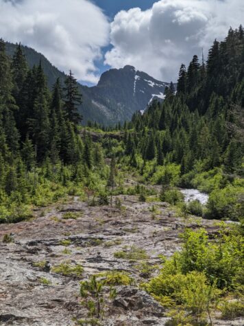
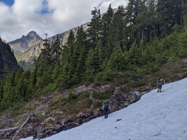
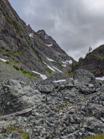
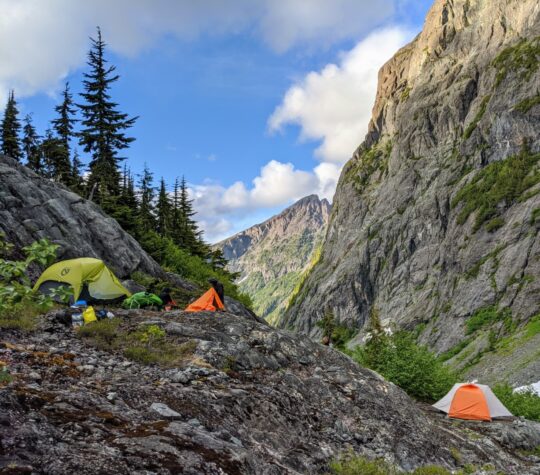
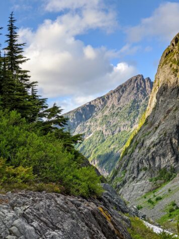
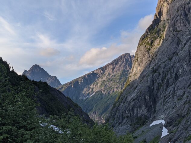
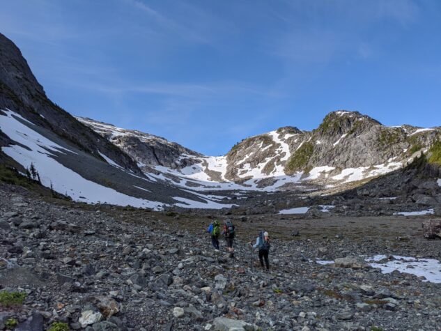
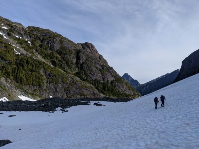
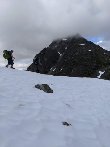
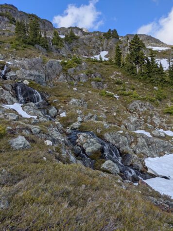
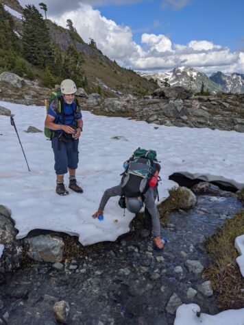
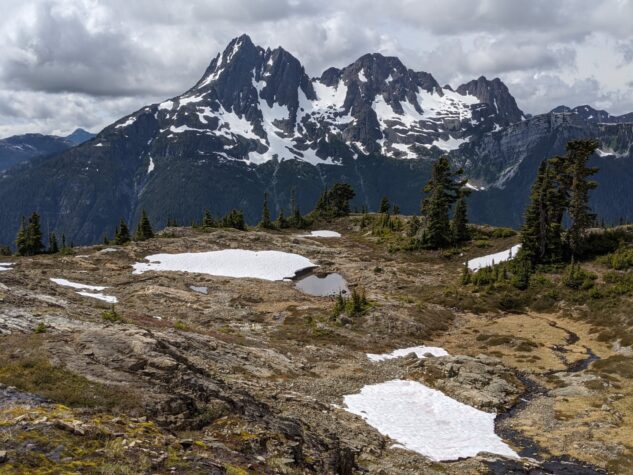
We started at the Elk River Trail heading up an easy going trail through a lovely forest. This is a well traveled route and we passed many people on the way coming and going. Just before Landslide Lake, we veered to the east up into the Elk Pass. The trail immediately shrunk, and some wayfinding was required as we moved through the Elk River bed and up into the valley. Not far up we started to encounter snow that needed to be crossed. By the time we got to camp, after a nine hour day, the entire valley was filled with snow, and so we made camp up on the cliffs above the valley. It was not an ideal campsite, but we tucked in and enjoyed a good night.
Day Two: Elk pass to Mount Devoe
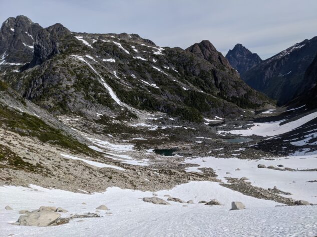
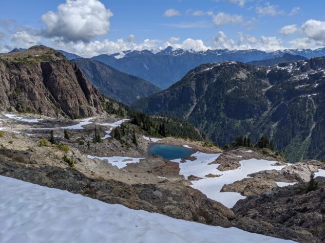
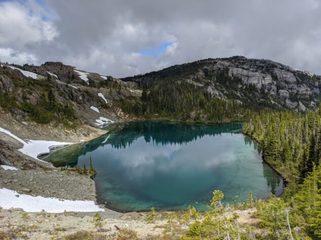
The next morning we continued up the snow field, passing some lovely tarns we missed the day prior by stopping early. We edged up to Elk Pass, climbing another, now steeper snowfield, to the summit where the snow stopped dead. There was a lovely little campsite here at the top. As we descended, the environment changed completely, we were now into lush forest, on the south side of the mountain, not shaded as in Elk Pass. What a difference the sun makes.
Like four legged spiders, we dance across the rock. With each touch, asking each one, can I trust you?
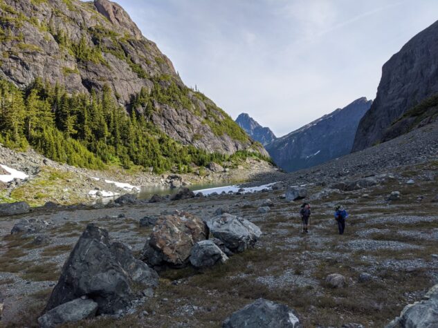
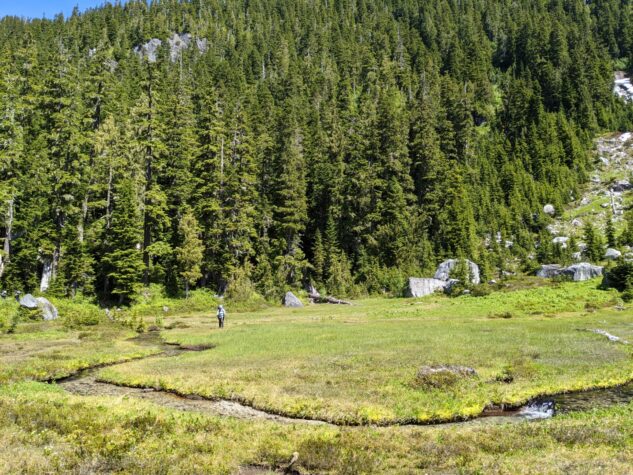
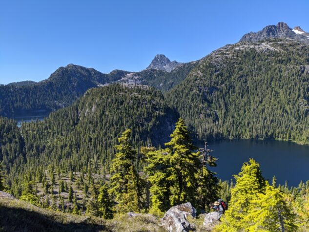
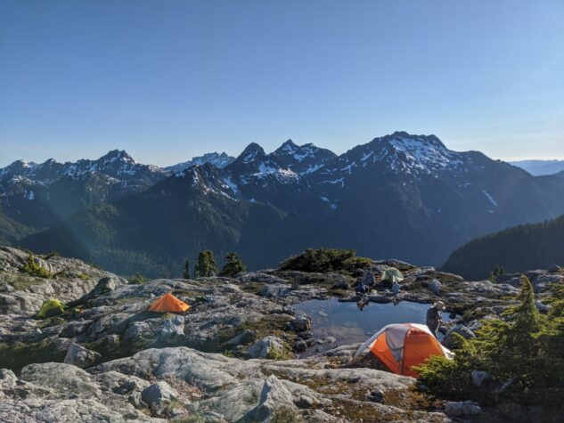
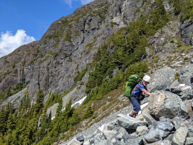
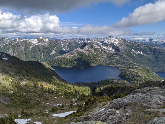
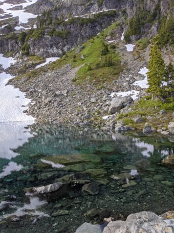
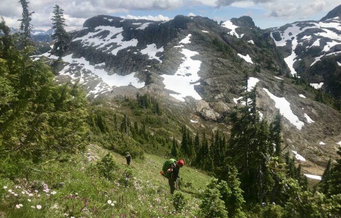
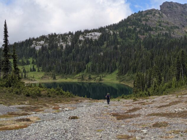
On the way down, someone in our party hurt their knee. They debated turning back at this point, but decided to push on. We moved down into a beautiful valley, with small rivers weaving about the moss covered grasses. This was a beautiful spot and the bears agreed, as fresh bear scat was nearby. Onward through the valley we passed a gorgeous lake, I wished we could have spent more time here. At this time the sun was warm and the lake was looking very temping for swimming. Down further we encountered another lake, this time our lunch spot on the banks of the lake. Although beautiful, the traverse around the lake turned out to be quite an ordeal, as we run below a steep rock face with rock fall. We bushwhacked our way through rough growth and thorned bushes. We then ascended up to the ridge adjacent to Mount Devoe on the Burman Lake route and set in for the evening under clear skies. The hot sun only relented as it set, and I needed to hide out in the shade this evening to find solace.
Day three: Mount Devoe Ridge
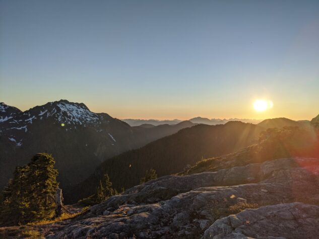
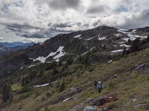
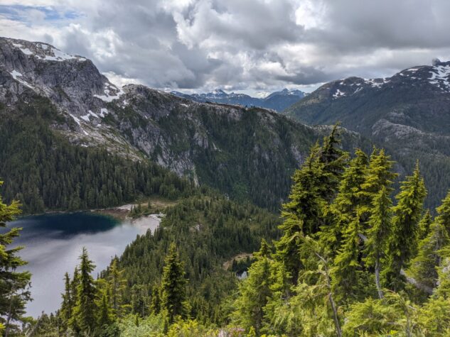
The following morning we descended off the ridge and into a valley that turned into a significant bushwhack. There was some confusion coming off the ridge, but we manged to find our way down to a series of tarns in the valley. We then ascended again, to a seemingly endless climb to the ridge west of the Golden Hinde. As the Hinde started to come into view we could see the scale of the mountain, the largest on the island. From the west side it appears to have several spires, looking like a castle of a mountain. We camped on this ridge after a challenging day, ascending and navigating the ridge. With little space to camp, we squeezed in and enjoyed a spectacular sunset as the temperature dropped.
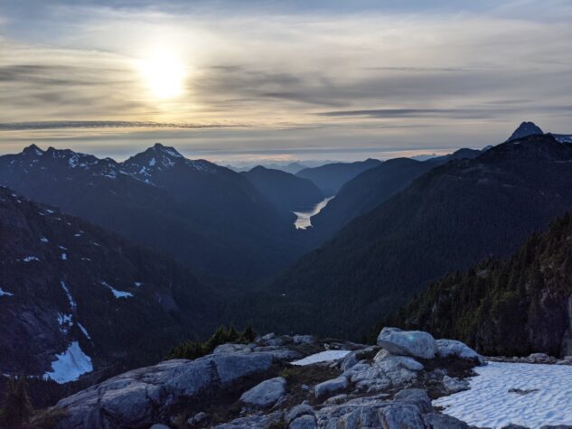
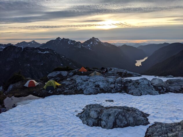
Day Four: Approaching the Golden Hinde
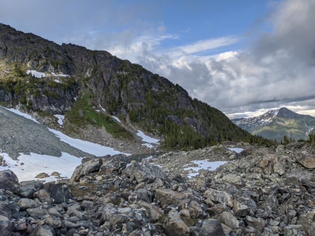
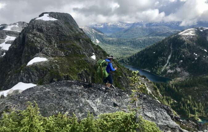
Our plan was to approach the Golden Hinde via the Behinde, a mountain due west of the big one. As we came off the ridge I could see the trail ahead , and honestly was quite uneasy about the approach. From a distance, the Behinde appeared quite vertical with a huge wall of talus, or large rock, running down it’s face. I was again apprehensive but we made our approach, finding that it was not as bad as it looked from a distance. We ascended, finding our way halfway up, realizing we were on the wrong shoulder of the mountain. Quickly righting our course we rounded the shoulder of the Behinde, into the shadow of the Golden Hinde.
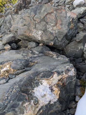
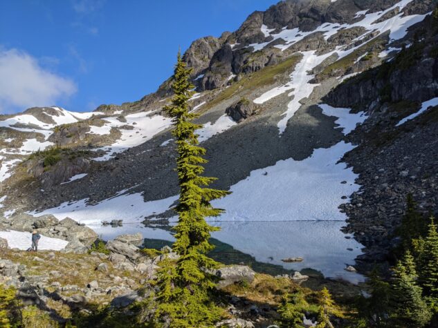
Here I felt a great surge of adrenaline, being in the presence of this monster and having overcome many apprehensions on the approach. After another long day of walking we entered the South Tarn, an exceptional camp at the base of the Golden Hinde. There was a boulder field here like I have never seen before, massive and abundant. Within the rocks were patterns or rock I have never seen before, resembling Indigenous artworks through their marvelous patterns.
At this point we heard from the other group via our inReach device. They had made their Golden Hinde summit attempt, finding the top impassable due to snow. As a result we decided to forgo our attempt, and continue the traverse. To be honest, I as more than ok with this considering what we had experienced thus far with nearly half the route still ahead. For this trip, it was about the journey, not the destination. We slept well here as the temperature dropped overnight.
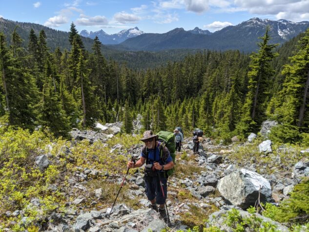
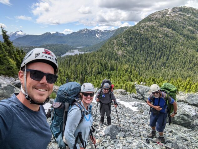
Day Five: The Junction at Burman Ridge
We descended down from the Golden Hinde basecamp to Burman Lake. At the bottom, we immediately began ascending again up to Burman Ridge. As we moved along the ridge we could hear voices ahead and came upon the other group near the top. It was good to meet the others and exchange stories of the paths ahead. We enjoyed a nice lunch together before reorienting for the next steps. The other group had decided to exit at Arnica Lake and the Philips Ridge Trail. I understand this to be the most direct route in to the Golden Hinde, and as well the most direct route out. Two from our group decided to also go this route and Andrew from the other group decided to join John and I on the return through Marble Meadows.
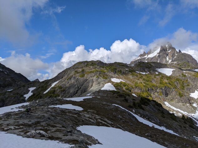
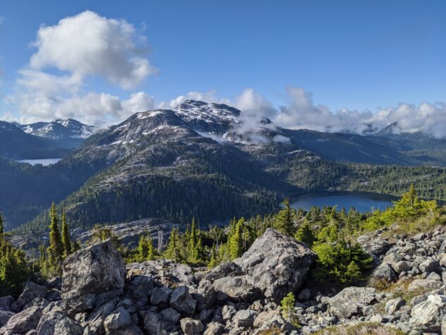
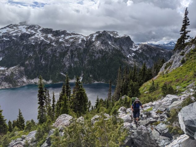
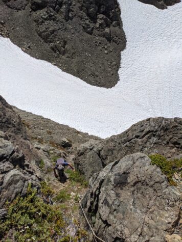
The three of us moved onwards following our lunch break, approaching Mount Judy on the north end of Schjelderup Lake. The trail up quickly deteriorated and some frustration ensued as we moved along a rather steep ridge on the south side of Mount Judy. It was warm, steep, rugged and exhausting finding a route up. Thankfully, Andrew, having come this way, was able to direct us to a route up, nearly vertical, that got us on the ridge. Once up, we walked through beautiful meadows to reach the summit. We camped not long after on the ridge. While we had water that evening, our water source disappeared overnight, as the temperature dropped and the snow stopped melting. In any case, we managed.
Day Six: Mount Judy to Marble Meadows
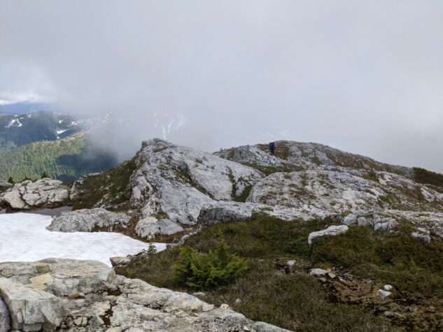
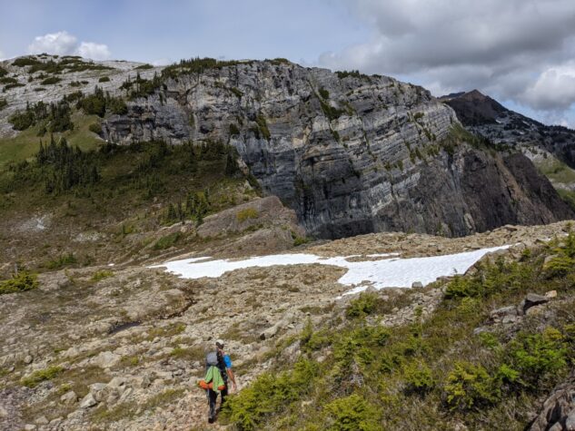
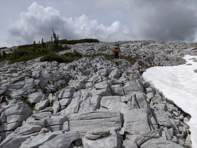
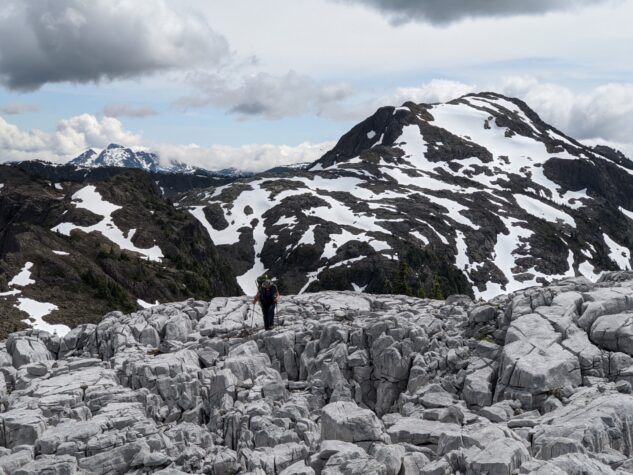
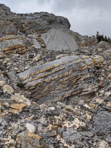
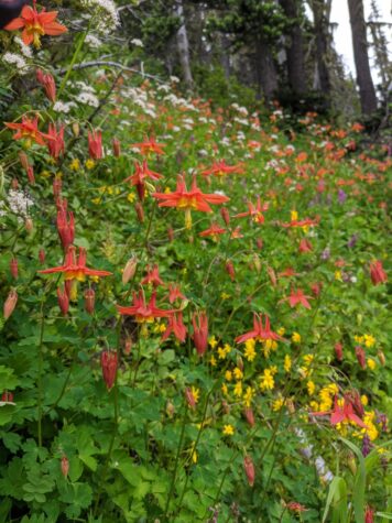
Waking to a clear morning, we were treated to lovely views of the Golden Hinde and Behinde from this ridge. Ahead we could see the Limestone Cap, a unique geological feature in the Strathcona range. There were some tricky sections along this route and lots of snow, but we managed to avoid the use of crampons. We found the “big steps” along the ridge, passing our packs up on a rope and working our way through. We stopped for lunch in the valley under the Limestone Cap, and I have to admit I was very excited to get onto the cap. It looks very unique, as if the liquid limestone once flowed together to make this feature, drying in place and leaving behind a waffle of limestone. As we approached, again the wildflowers were abundant. The Limestone Cap itself is made of light grey limestone rock, contains many small crevices to navigate, and felt like a rugged almost alien landscape. I do not see a way to camp on the cap as the rock is sharp and fragmented.
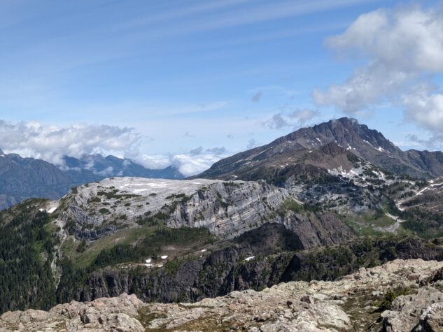
I feel a bit lightheaded. Is it the adrenaline? Sunstroke? Lack of oxygen? Loss of blood due to mosquito bites? No, I am in the mountains.
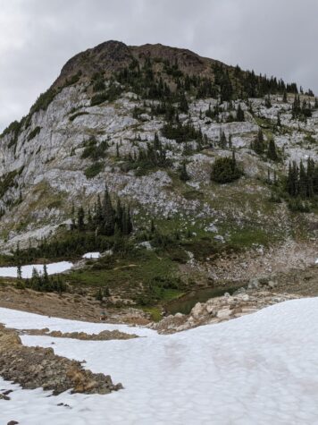
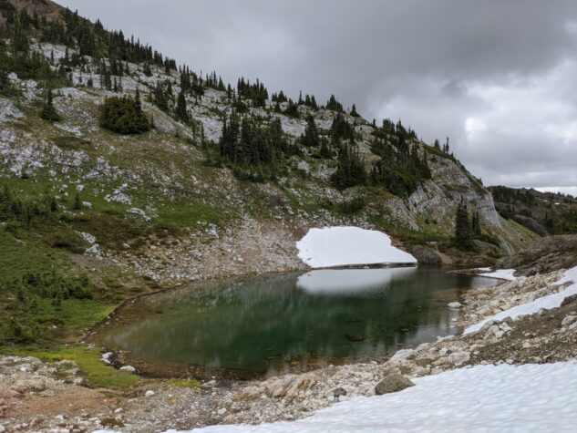
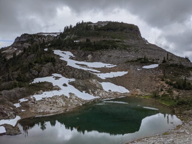
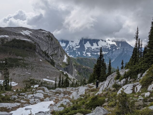
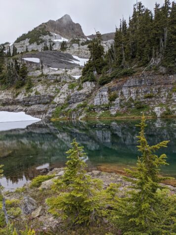
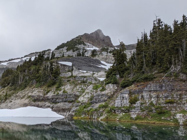
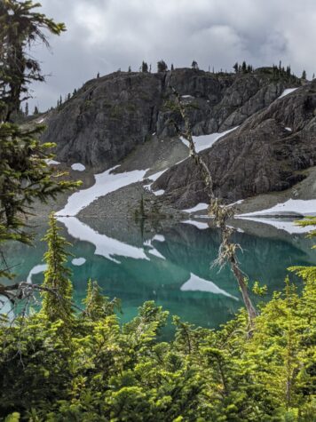
We moved along the cap and down into Marble Meadows on the Philips Watershed Route. We passed the Morrison Spire and found a small tarn to camp for our final night. The mist came in quick and the temperature dropped again, I swear it was 5 degrees. I was surprised by this cold in late July. We enjoyed dinner, the company of our group, the beauty of the location, and tucked into our tents early.
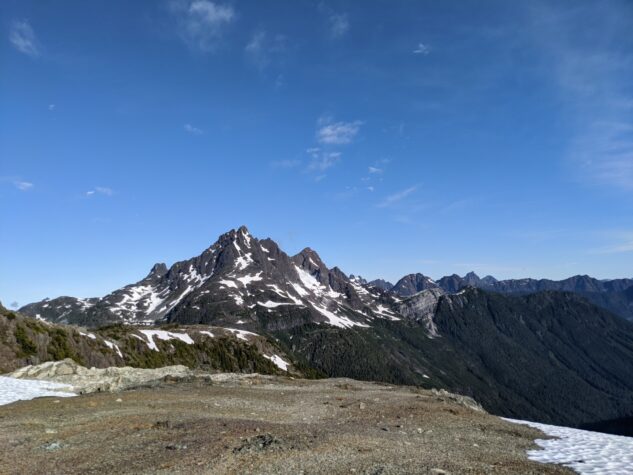
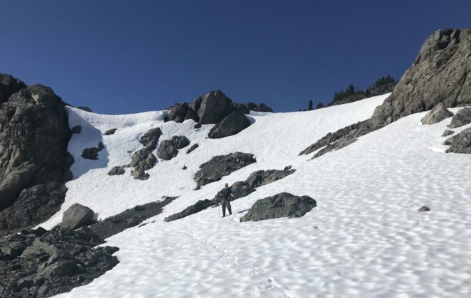
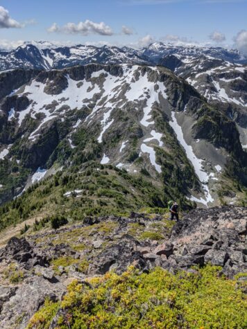
Day Seven: Through Marble Meadows and down to Buttle Lake
The mist started to clear in the morning and we were longing for any warmth that the sun could provide. It came and we made our move through the meadows. This area is really beautiful, and we passed several tarns, the Wheaton Hut, and remarkable geology along the way. One could spend some time here, climbing the Morrison Spire, Mount McBride, Marble Peak, or Mount Philips. After seven days, we were pretty much done at this point, so did not entertain any side trips.
Down, down, down, we moved through the multitude of switchbacks to Buttle Lake. Being Friday we started to see people, coming up to Marble Meadows for the weekend. Near the bottom, I started to charge ahead, with the hopes of jumping into the lake at the bottom. I managed to do just that but ended up in the cold section of the river coming down off the mountain. Wishing I had moved a little further out to the warmth of Buttle Lake.
We found the canoes as expected and paddled across the lake to our cars. The traverse was complete.
Coda: Lessons Learned on this Trip
–> Yes, it is summer, but that does not guarantee warm weather at mountain elevations. It might even snow up here.
–> One side of a mountain can be entirely different than another. For example, a south exposure can be full of trees and a north side barren. This can impact ascents and descents in a very real way – schwack or slip.
–> Map topology alone will not help you judge the difficulty of a route.
–> Just because there is a Backroads Country Mapbook “route” doesn’t ensure a trail exists. Even if it does, it might disappear at any moment.
–> Hiking in the mountains in July does not ensure you will swim daily.
–> You can not swim in the drinking tarn, if it is small.
–> Coastal camping gear does not work equally as well in the mountains.
 0
0
A great trip report Michael! Your photos tell the story very well, and you have some poetic phrasing!
Pingback: Augerpoint Traverse | Blue Light District
Pingback: Three Nights in Marble Meadows – Michael is Exploring